
8 mph: The wind speed limit for frost in southeast Louisiana
A cold front brings low 30s temperatures Saturday, but surface winds may prevent the formation of frost despite the drop in temperature.
By Arjun Weber ·
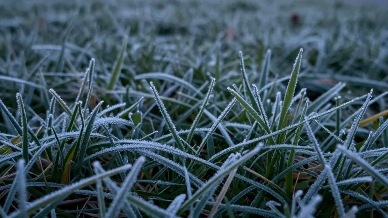
Southeast Louisiana faces a temperature drop this weekend that could bring frost to the north shore, but the outcome hinges on a specific wind threshold. While air temperatures will fall into the mid-to-upper 30s Fahrenheit, meteorologists indicate that wind speeds must remain below 8 mph for frost to form. If the wind exceeds that speed, the moisture in the air will likely remain liquid, preventing the white layer on grass and windshields.
The first frost in the region typically arrives between early and mid-November on the north shore and in late November along the lake and coastal Mississippi. Inland areas of Terrebonne and Lafourche parishes, as well as the river parishes, usually see frost in late November. The New Orleans metro area generally does not experience its first frost until early to mid-December. This year, the timing aligns with the historical average for the northern part of the state.
A strong cold front is expected to sweep through the area on Thursday, initiating a sharp decline in temperatures. The plunge will begin on Friday and continue through the night, reaching its lowest point in the early hours of Saturday, November 14. Forecasts predict mainly clear skies, a condition that allows heat to escape rapidly into the atmosphere. This rapid heat loss cools the ground, causing objects like cars and blades of grass to reach temperatures several degrees colder than the surrounding air.
The formation of frost requires a precise combination of conditions. Air temperatures need to range between 33 and 38 degrees Fahrenheit. The sky must be clear to facilitate rapid cooling, and the wind must be very light. When the ground cools faster than the air, dew on surfaces freezes. This process creates the visible frost layer. However, the presence of a surface high-pressure system introduces uncertainty. The position of this system relative to the state will dictate wind patterns.
If the region sits near the center of the high-pressure system, winds will remain virtually calm. This calmness allows the ground to cool sufficiently for frost to develop. If the area is farther from the center, winds could reach 10 mph. While a 10 mph breeze feels mild to most people, it is strong enough to mix the air and prevent the surface from cooling below the freezing point. The National Weather Service notes that wind speeds above 8 mph make frost development difficult.
Current forecasts show lows in the mid-to-upper 30s for most of the region, with some isolated spots potentially reaching the low 30s on Saturday morning. The placement of the high-pressure system remains the deciding factor for whether the winds stay below the 8 mph threshold. Gardeners in the north shore will need to monitor local conditions to determine if protective measures are necessary for sensitive plants.