
Texas Weather: 6 Inches of Rain Forecast for Central South Region
Heavy downpours and cooler temperatures are expected to impact the Edwards Plateau and Rio Grande corridor this weekend.
By Alexei Brooks ·
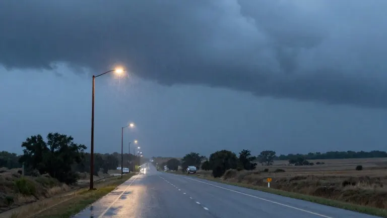
Residents in the western part of central South Texas should prepare for a weekend of wet conditions. The National Weather Service forecasts multiple rounds of rain and thunderstorms moving through the area between Thursday and Friday. These weather systems are expected to keep temperatures below normal and bring a substantial amount of water to specific regions of the state.
The heaviest accumulation is predicted along a corridor stretching across the southern Edwards Plateau and the Rio Grande. In these zones, total rainfall is expected to range from 2 to 4 inches. While most areas will fall within that band, isolated pockets could see as much as 6 inches of precipitation. Such totals create a risk of localized flooding in low-lying areas.
Conditions will be milder in the Hill Country and nearby communities. The forecast calls for 0.5 to 1.5 inches of rain in those sectors. Rainfall amounts are projected to drop sharply as the weather system moves east past Interstate 35 and reaches the coastal plains. This distribution means that while the west will be soaked, the east will see significantly less water.
The rain will also bring a noticeable change in temperature. Daily highs are expected to stay in the 70s Fahrenheit across most of the affected region. Parts of the Hill Country and the southern Edwards Plateau may see highs in the 60s. This cooler air will persist through the weekend, providing a break from the typical autumn heat.
The weather pattern is not expected to end on Friday. Forecasts indicate that a cold front could move through the region in the early part of next week. This front would bring another chance for rain, extending the period of unsettled weather for residents in central Texas.
The National Weather Service continues to monitor the situation as the system approaches. The current outlook relies on the trajectory of the storm systems moving from the west. Locals in the high-risk corridor should check local updates for any changes to the flood or rain advisories.