Eastern Nebraska Braces for Severe Storms Before Election Day Rain
A cold front drives strong winds and brief tornadoes into the Omaha area Monday night, followed by gusty conditions and cooler temperatures during Tuesday's vote.
By Arjun Weber ·
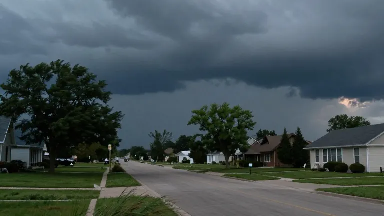
Scattered strong and severe storms are expected to impact eastern Nebraska on Monday evening, bringing strong winds and a brief tornado possibility to the region. These weather systems are projected to reach the Omaha metropolitan area around 8:00 p.m., coinciding with local bedtime hours. While severe weather probabilities remain lower in Omaha compared to areas to the west, residents can expect strong gusts associated with any passing thunderstorms throughout the night.
As of 3:30 p.m. on Monday, a cold front was generating active storm cells near Norfolk and Columbus. No watches or warnings were in effect at that time, but conditions west of Omaha were warm and humid following a largely sunny afternoon. Meteorologists noted that storms developing in this area could intensify through the evening, producing damaging winds and a brief tornado. The combination of strong south winds and shallow wind shear is expected to rapidly dissipate any rotational activity, meaning long-lived or intense tornadoes are not anticipated.
The primary concern for Monday night involves wind damage. Background winds were already gusting between 30 and 40 mph, meaning that thunderstorms would require little additional energy to produce severe wind gusts. Additional rounds of rain and embedded storms will continue overnight, but the risk of severe weather is expected to end by midnight. This pattern sets the stage for unpleasant conditions on Election Day.
On Tuesday, voters heading to polling locations should prepare for wind-driven rain and gusts reaching 40 mph. Temperatures will drop from the upper 50s in the morning to the low 50s in the afternoon. Long waits outside polling stations could expose voters to these elements, prompting forecasters to advise residents not to let the weather discourage them from casting ballots.
The weather pattern will shift to a quieter regime later in the week. A second lobe from the low pressure system will keep some showers in the forecast for Wednesday and Thursday morning. Winds will weaken, though gusts may still reach 30 mph. Both days will feature cooler, more typical November temperatures in the low to mid 50s. By the end of the week, there is a small chance of frost in eastern Nebraska and western Iowa, a risk that has decreased since the previous day's forecasts.
A clipper low moving through the central United States could bring more showers this weekend. A brief warm-up may precede this system, with Saturday high temperatures returning to the low 60s. A more sustained period of warmer weather is likely to arrive next week.